-----
-----
-----


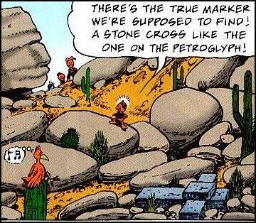
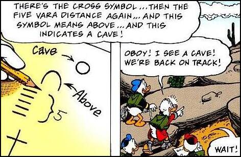
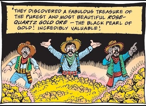
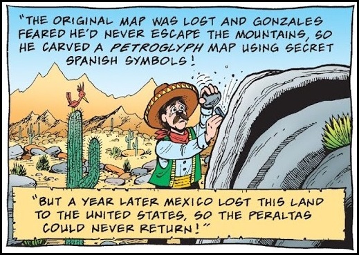
Somewhere along the way Uncle Scrooge falls privilege to the original genuine real honest-to-goodness map to the Lost Dutchman's Mine, a mine said to be filled with the best most purest high grade gold ever found, but lost for centuries as those who knew the secret to it's location died one by one over the years. Scrooge, Donald and his three nephews, Huey, Dewey, and Louie, embark on an expedition to find it only to learn that the map only leads them to clues left by the Dutchman. Using the Woodchuck Guidebook, one by one the nephews decipher the clues and eventually locate the mine.
 --
--
 --
-- --
--

 ---
--- ---
---
Originally I was not a man of the east, nor as a young boy was I seeped in things of the east. Although I was taken to India at an early age I was born in America and, even though I was in India long enough to miss many months of school, I was still otherwise, raised in America as an American boy pure and simple, hence my early childhood is tinged with reminisces and things from that background. From that, throughout my texts and associated footnotes and links I bring up and present constant references to any number of comic books, comic book super heroes, cowboy-western movie stars, Tarzan, ray guns, and other memorabilia and stories from the era such as the deed come ownership of one square inch of land as provided through the Klondike Big Inch Land Company --- and I have done so primarily because of the almost multi-tentacle-like outreach and connections to all those areas associated by me through an almost fanatical childhood fascination with Captain Midnight Code-O-Graphs, especially so the 1942-1945 Photo-Matic version that figured so prominently throughout my life --- that inturn, as an adult, led directly to the ancient hidden hermitage high in the mountains of the Himalayas known as Shambala and sometimes Shangri-la. See:
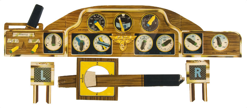
Another box top offer that ended up super-important in my life as a kid was also a Quaker cereal premium offer called Capt. Sparks Airplane Pilot Training Cockpit. Although I didn't have one myself the girl next door, who used to babysit my brothers and me, had one and I played with it all the time, so much so it was almost as though it was mine. The Pilot Training Cockpit offer played a huge role in my later adult life by justly confirming what I could or could not remember from my early childhood.
One night a couple of months into World War II while I was still a very young boy, during the early morning hours of the latter part of February 1942, a giant airborne object of an unknown nature came in off the Pacific Ocean flying over the Los Angeles area for several hours causing a basin-wide blackout. After taking over a thousand hits by anti-aircraft fire it simply disappeared back out over the ocean seemingly unharmed. I clearly saw the object that night along with my family and neighbors as it flew at a very low altitude directly over my house and I have written about it as such as found in The Battle of Los Angeles: 1942 UFO.
One of the major historians of the battle C. Scott Littleton, even though he cites what I have to say extensively in his works (usually uncredited) he almost always adds that his source (me) as being too young to remember what I reported as well as sometimes using the word "shaky" as to what I reported. To counteract his thoughts on the subject I have presented throughout my works a whole series of things I remember from the era, of which one is the following:
"I remember a lot of things, up to and well before that period of time in my life. For example, my mother nursing my brother who was three years younger than me. Seeing barrage balloons floating in the sky tethered to the ground over the shipyards in Terminal Island where my father worked. Because metal was not available for toys during wartime, the life size cardboard toy fighter plane-type cockpit --- colored on one side with dials and windshield and printed only in black and white on the backside --- with a movable square cardboard joystick that the girl next door had."
HOW HE BECAME A MOUNTIE
OR RETURN TO:
THE ROSWELL RAY GUN
ROSWELL: TRUTHS BEHIND THE VEIL
THE WANDERLING
(please click)
As to the subject of donations, for those who may be so interested as it applies to the gratefulness of my works, I invariably suggest any funds be directed toward THE WOUNDED WARRIOR PROJECT and/or THE AMERICAN RED CROSS.
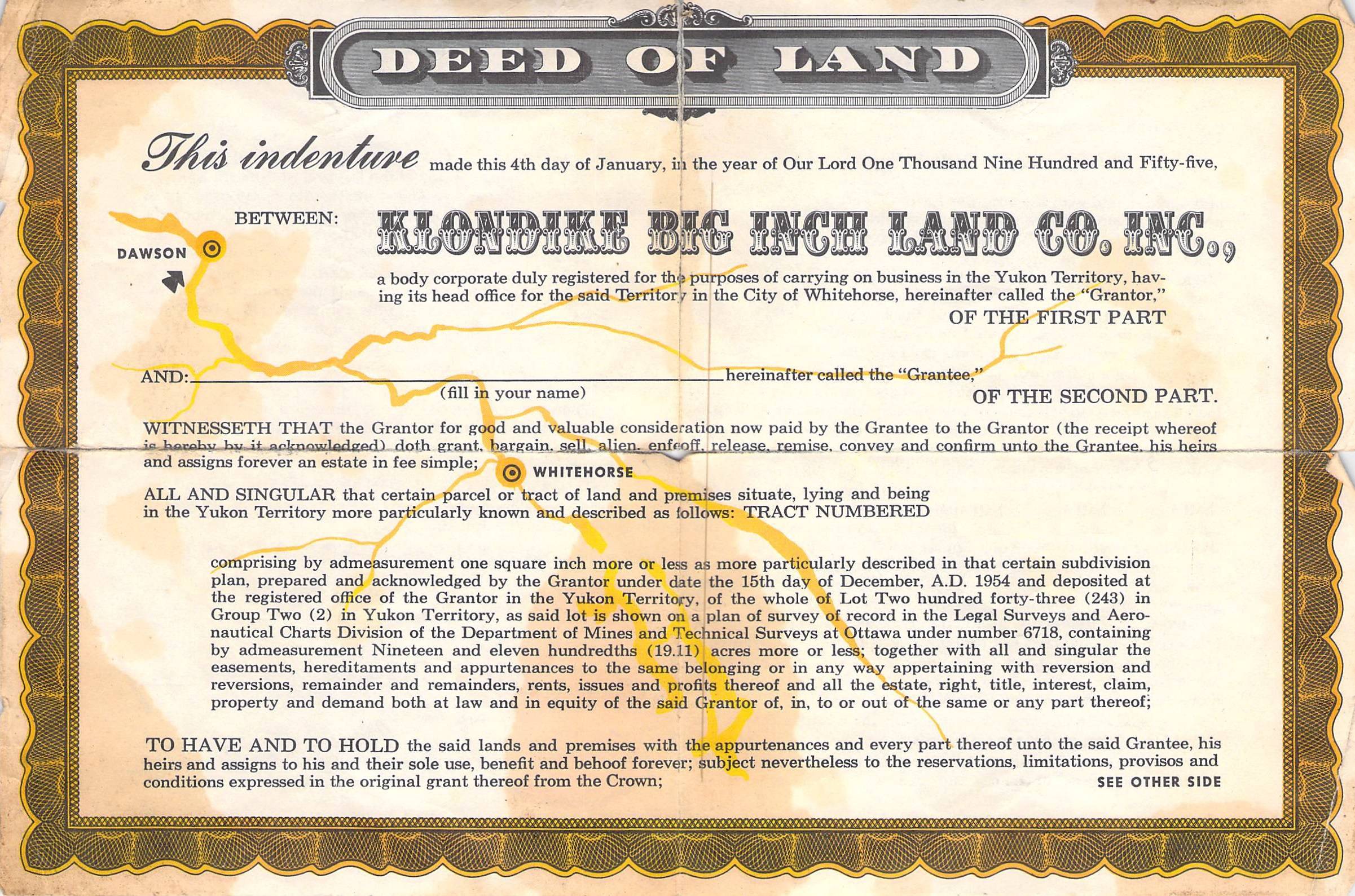
The following, showing how the location of any given specific one square inch of land is determined or found as done in or for the actual Quaker Oats Klondike Big Inch Land Company offer, is from Footnote [2] of Klondike Big Inch Land Company :
As far as the Klondike Big Inch Land Company itself is concerned, the property was seized January 22, 1965 and the company quietly dissolved in 1966. The actual 19.11-acre plot of land is, of course, still there --- previously Group 2 Lot 243, now known as Group 1052, (according the Yukon's Register of Land Titles) --- located on the west bank of the Yukon River about three miles upstream from Dawson with 640 feet of riverfront lineage (7680 inches) by 1301 feet deep (15,612 inches). Conversion charts calculate that 19.11 acres equal 119,870,150.4 square inches, of which for only 21 million deeds were printed --- leaving in the process a whole lot of "inches" left over and a lot of acres falling into the unaccounted for category. For the record, the same conversion chart shows that 21,000,000 square inches (one square inch for each deed printed) equals only 3.34787267 acres out of the original 19.11 acre plot. Lot 243 is so designated on the graphic below as being the rectangle shape just right of center. The edge of the Yukon River can be seen just below it.
(for larger size click image then click again)
According to land office records a man by the name of Malcolm McLaren first homesteaded the same general plot of land back in 1911. Rumors have abounded that the land became a part of an area adjacent to the former Top of the World Golf Course when the golf course was first developed. More concretely, in an article published in the August 15, 2007 issue of the Klondike Sun titled "Cereal Thriller Indeed" by Megan Ruiter, Ruiter writes:
"The actual land that was purchased is now an untended portion of Dawson's very own Top of The World golf course, a prized chunk of Dawson real estate."
Bert Rush describes in the main text above how one would go about finding their "own" square inch of land out of the 21 million deeds distributed. Rush writes, if you may recall, and I quote:
"So there was no survey map. Instead, the deeds were numbered consecutively following a master plan that made its 'point of beginning' the northwest corner of the 19 acres. If you wanted to find a certain lot number, theoretically you would start at the northwest corner, go X number of inches east, then go X number of inches south, and there it would be. Theoretically."
Getting somewhat more specific, in 1975 an article regarding the Klondike Big Inch Land Company, written by one Jack McIver, appeared in CANADIAN MAGAZINE. In the article, he gives his explanation what a person would have to do to go about locating a definitative or given square inch, McIver wrote:
"(T)he deeds were numbered consecutively, according to a master plan. If you wanted to find, say, lot number 11,935,000 you simply had to start in the northwest corner of the land, travel east 7,000 inches, go south 1,705 inches, and there you'd be, standing on your inch."
About the same time Ruiter wrote her article for the Klondike Sun I was in the Yukon. With the information from McIver's article and my numbered deed in hand I visited the golf course and was directed to the untended portion she wrote about. With the land "untended," that is, reverted back to nature --- if it ever wasn't --- and nobody knowing for sure where the actual northwest corner the specific plot started --- if they ever did --- I knew somewhere out there would have been my square inch if my deed would have been valid, but that was about it.